Cowper's Rural Walks
TRAIL SUMMARY
|
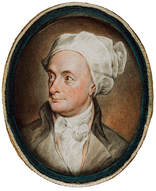
The poet William Cowper (pronounced COOper) lived in Olney and Weston Underwood from 1767 to 1795 and many of his poems and letters observed scenes he witnessed during his regular country walks. This walk covers some of the main sites he visited and documented. It follows a westerly route from the Cowper and Newton Museum (6 miles/10 kilometres/3 hours).
|
|
1. The Cowper & Newton Museum
Direction: 52.152738, -0.701035 PLACE: 52.152620, -0.700984 Cowper came to Olney in 1767 at John Newton’s invitation. Together they achieved fame as authors of the Olney Hymns, which included Amazing Grace. In 1768 he moved into Orchard Side which is now the museum. He became famous as a poet and translator while living here and especially acclaimed for his poetry of the countryside which inspired many eminent literary figures of the following 200 years. He was the most read poet of his day. Robbie Burns carried a copy of his great blank verse poem, The Task, around in his back pocket. Wordsworth and Coleridge were heavily influenced by him. Jane Austen quotes from Cowper in three of her six novels. In the twentieth century Virginia Woolf quoted him and John Betjeman became the Chairman of the Cowper & Newton Society. Olney Hymns by John Betjeman: Oh God the Olney Hymns abound With words of Grace which Thou didst choose, And wet the elm above the hedge Reflected in the winding Ouse. Pour in my soul unemptied floods That stand between the slopes of clay, Till deep beyond a deeper depth This Olney day is any day. As a Cowper enthusiast John Betjeman was given Cowper’s bottle of Epsom salts, which he presented to the museum. From the Museum walk west to the High Street and turn left (south) along High Street South to view Cross Keys Houseon the west side. 52.151880, -0.701965 |
|
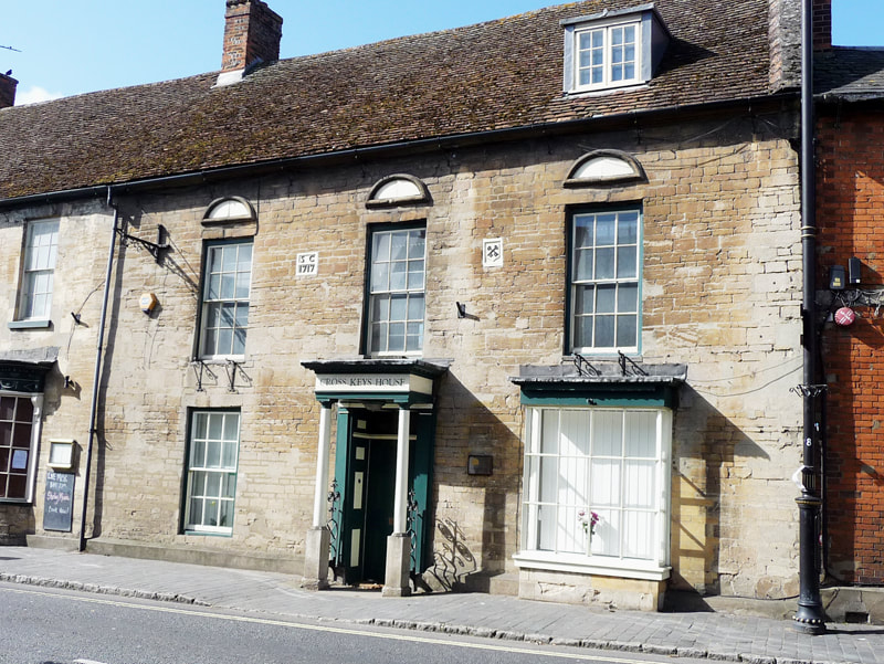
2. Cross Keys House
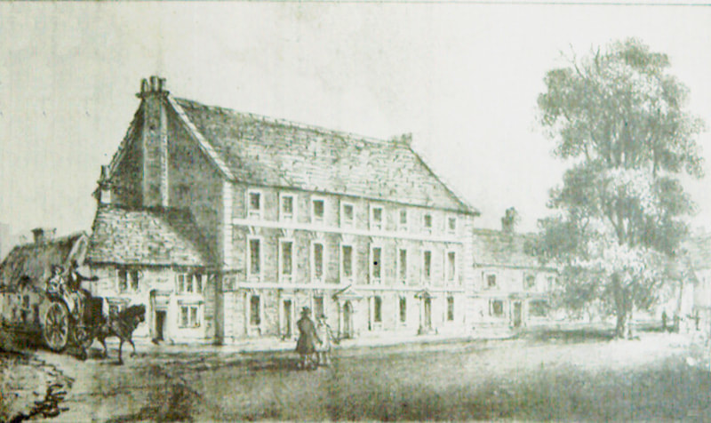
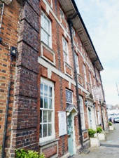
52.151757, -0.702069 Cross Keys Houseis one of the four Grade II* properties in Olney (one of the others being the museum). The Cross Keys is the oldest documented alehouse in the town from 1556. The name, like several other alehouse names in the area, refer to the name of the Church of St Peter & St Paul: St Peter held the keys to the gates of heaven. The small but impressive doorway and columns are thought to have been brought from the old Throckmorton mansion, Weston House, in Weston Underwood following its demolition in the 1820s. Cross Keys House and the bakery stand next to Tory Row (built in 1737, the year of Queen Victoria’s accession) on the site of the old workhouse. The Swan Inn opposite is named after the Buckinghamshire emblem. In 1603 it was known as the Buck and renamed The Swan in 1790. From opposite the Cross Keys continue south along High Street South (which becomes Bridge Street). Cross over with care at the traffic island and continue as far as Lime Street corner. 52.150541, -0.702175 |
|
3. Lime St corner
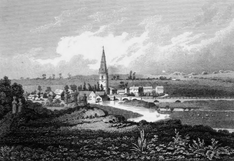
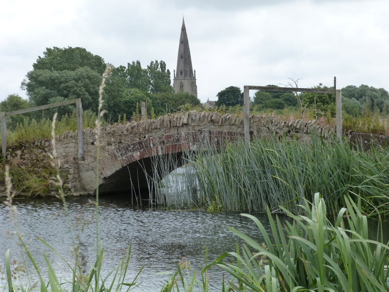
52.150541,-0.702282 Take a detour to Olney Bridge passing number 2 Bridge Street. Cowper wrote: Oe’r yonder bridge That with its wearisome but needful length, Bestrides the wintry flood. Mrs Unwin and Cowper made use of Mr Raban’s house (later the Golden Lion alehouse) at 2 Bridge St (East) to watch the militia exercises on Emberton marshes. While there was an element of Dad’s Army about this activity the fear of a French invasion was ever present throughout the second half of the 18thcentury and into the 19thuntil the fall of Napoleon in 1815. The arrival of the militia certainly caused a stir with the local ladies. Cowper said that very little lace was made in Silver End (the poor part of the town east of Orchard Side) when the militia was in town! The bridge was the scene of an engagement during the English Civil war in 1643 and a small monument on the west of the bridge commemorates this. The Parliamentarians who held the town and Newport Pagnell were forced back onto the bridge by Prince Rupert’s forces from Northampton, but they withdrew on the rumour of a relieving force approaching. A Roman Road passed through the future site of the town from the ford near the bridge to the Roman settlement at Ash Furlong to the north of the Lavendon Road junction on the north side of the town. Two roads met on the Emberton side of the bridge, one from due South from the town of Magiovinium (Bletchley) and another from Thornborough near Buckingham. From the corner of Lime Street and Bridge Street (after an optional look at the bridge and Civil War monument) follow Lime Street west keeping left and following the path into the new tannery housing estate (opposite the old Boot Maltings which is nw used as a car workshop). Turn left onto Wagstaff Way and follow the road round until it turns back west following the river with views back towards the bridge. At the end of the boardwalk is a Cowper memorial. 52.150485, -0.707280 |
|
|
4. Cowper Memorial
52.150494, -0.707198 The boardwalk and the new housing next to it marks the site of the old tannery. A plaque has been placed here to Cowper who loved to walk this way: “Ouse, slow winding through a level plain Of spacious meads with cattle sprinkled o’er, Conducts the eye along its sinuous course delighted.” From the Cowper memorial follow the boardwalk and turn left onto the farm track leading down to the river and Goosey Bridge. It is also the point at which local folklore states that the devil is supposed to emerge from the swampy ground known as the Sway Gog in a local legend. The present bridge dates from 1796. 52.149495, -0.708493 |
|
5. Goosey Bridge
52.149329, -0.708192 It was at about this point that his dog brought him a present of a lily, after which he wrote the charming The Dog and The Waterlily. The river here was a major source of the reeds which provided the raw material for a small basket making industry. From Goosey Bridge backtrack a few metres and take the path following the north bank of the river that heads in a south-westerly direction. Pass the first field boundary (with bird houses on posts) and just before the second boundary (also with bird houses) follow the mown track that curls right to the north towards the escarpment. At the end of the field cross the little bridge and follow the track left up the escarpment to the gate on the Weston Road gate (with a walker’s gate incorporated). 52.150680, -0.717601 |
|
6. Weston Rd gate: ‘Yon eminence’
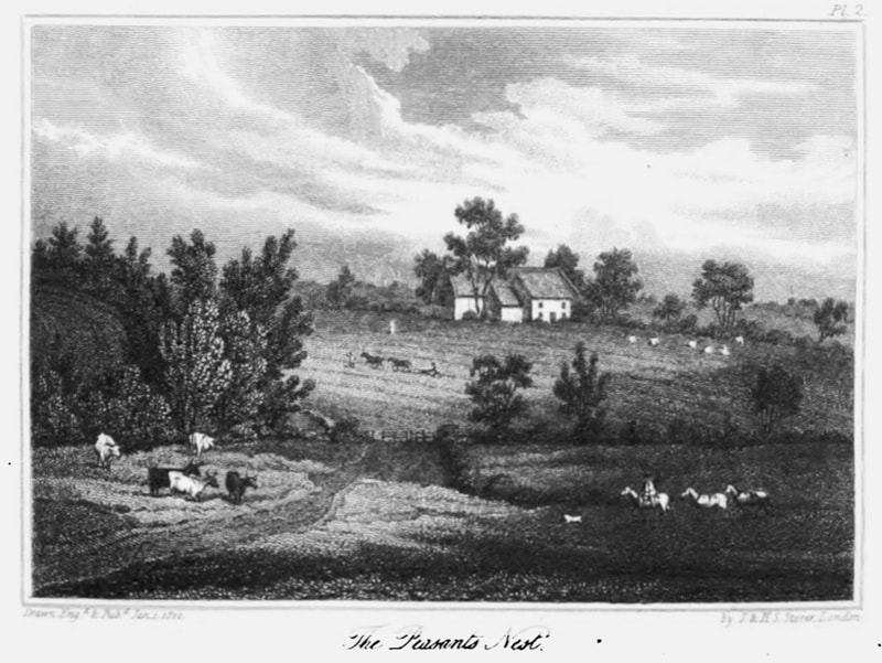
52.155295, -0.719951 You have just climbed the Oolitic limestone escarpment, the sedimentary rock that lays under the very north of Buckinghamshire and is much used in building in Olney and adjoining villages Above and below the stone are layers of Upper Lias boulder clay, giving rise to two spring levels in some places. The rubbly limestone and clay soil on the top is known as Cornbrash. A detour up the footpath opposite takes you up the hill Cowper referred to as “Yon eminence”. It overlooks the hamlet of Pheasants Nest which was the Peasant’s Nest or hovel of Cowper’s Task. Either side of the public land at Barnfield the continuation of Spring (previously Spout Lane and Long Lane are two of the old tracks that ran into the open and common fields prior to the Inclosure (sic) Act for Olney in 1767. Each farmer would previously have had scattered strips of land in the open fields, many only based on unwritten customary rights. Without legal claim they would have been thrown off the land. From the gate onto Weston Road cross the road carefully and turn left, following the pavement down the hill to the small board bridge next to the road bridge. (note the footpath opposite running up the hill to Barnfield and Cowper’s Yon eminence’.) This is known as the Overbrook or Holbrook Bridge. 52.150517, -0.724669 |
|
7. Overbrook (Holbrook) Bridge
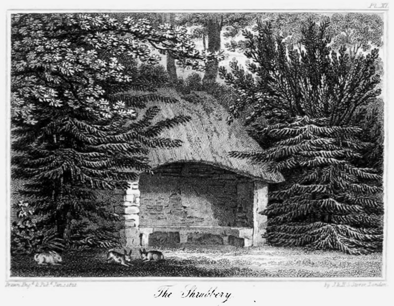
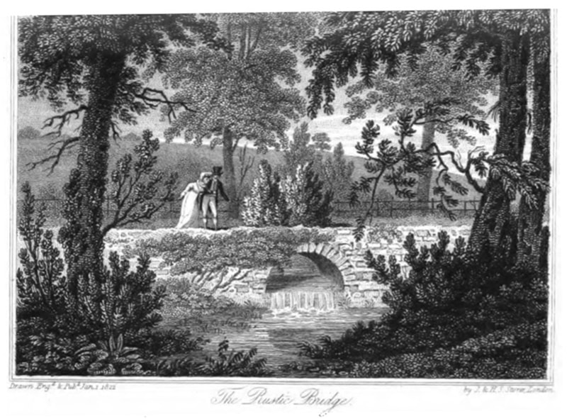
52.150565, -0.724958 Crossing the bridge Cowper entered the parkland estate of Weston House. There was a spinney & shrubbery near the stream, which often cut the village off in flood. He had the following verses placed here: Here, free from riot’s hated noise Be mine, ye calmer, purer joy A book or friend bestows Far from the storms that shake the great, Contentment’s gale shall fan my seat, And sweeten my repose. And later from the 6thbook of The Task: No noise is here, or none that hinders thought. Stillness, accompanied by sounds so soft, Charms more than silence. Meditation here May think down hours to moments. Here the heart May give a useful lesson to the head, And learning wiser grow without his books. There are several scheduled ancient monuments around Weston Underwood but the Devil’s Bridgeis the only one that is approachable. To reach it take a detour along the concreted road opposite the gates down to where it crosses the stream. The Rustic Bridge, mentioned in the Task, crosses the Holbrook upstream of the devil’s Bridge but is on private land. From Overbrook continue along the road up the hill to the village opposite the first of two large gates that used to mark the entrance to the grand Weston House. 52.149034, -0.733614 |
|
|
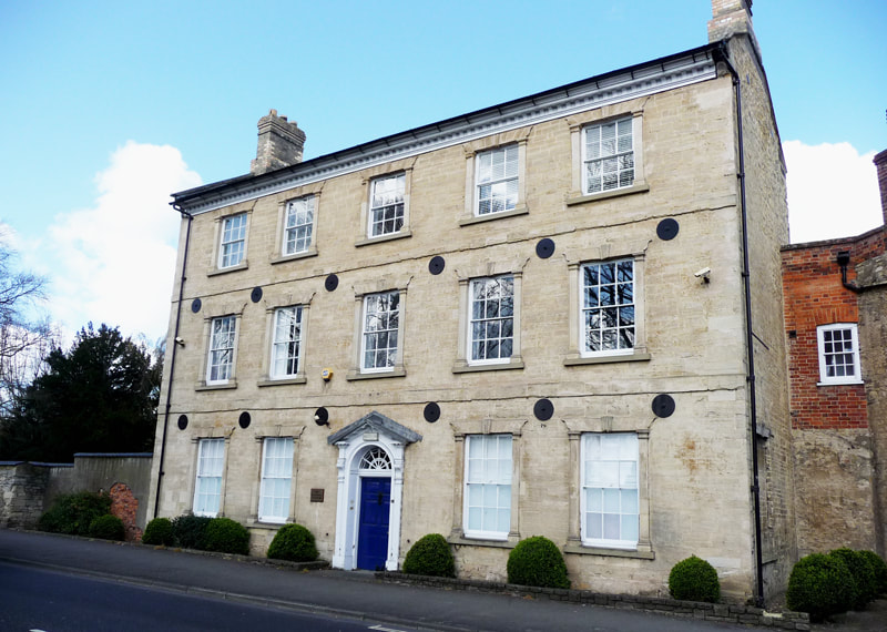
8. Weston House
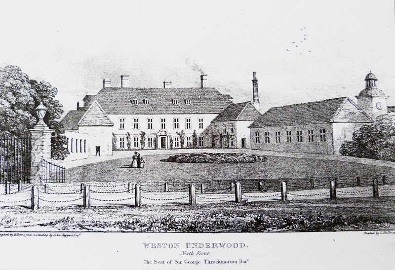
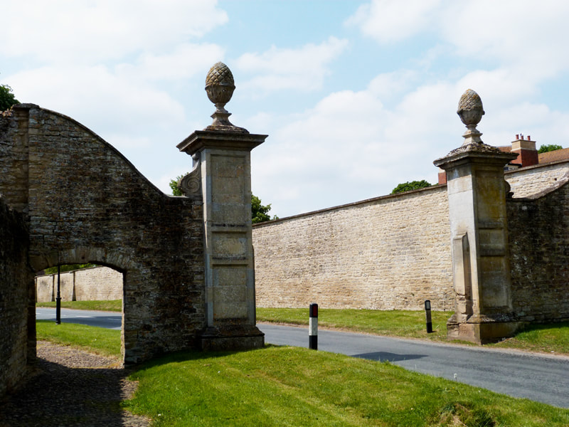
52.148803, -0.733790 The Weston House gateposts marked the entrance to the large and rambling Elizabethan mansion belonging to the Throckmorton family from 1446 who were the pre-eminent Roman Catholic lords of the manor. Coughton Court in Warwickshire is their seat today. They are infamous for the Throckmorton Plot against Elizabeth 1 in 1583 and for being close relatives of most of the Gunpowder Plotters in 1605. A Protestant banking strand gave us Throgmorton Street in the City of London but by Cowper’s time they were acceptable landlords and companions. While the great house, with its sophisticated double priest hole, no longer exists, the stables, chapel and laundry do, and have been converted into private homes. From the Weston Hall gateposts continue a short distance west along the cobbled pavement of the Weston Road to the gateposts either side of the road known as The Knobs. 52.148288, -0.735028 |
|
9. The Knobs
52.148294, -0.735304 Weston was a gated village. The “Knobs” were to keep unwanted visitors out from the village side. Another gate will have existed by the Holbrook bridge and through traffic would have had to pass by along the valley and back up Cross Lane to the old village cross, of which only the base remains. From the knobs continue along the Weston Road to the end of the large stone-faced wall on the right. At the crossroads marking the start of the High Street turn right (north) into Wood Lane following the wall of the old kitchen garden to the end and the start of the estate garden known as The Wilderness. 52.147941, -0.737248 |
|
10. The Wilderness
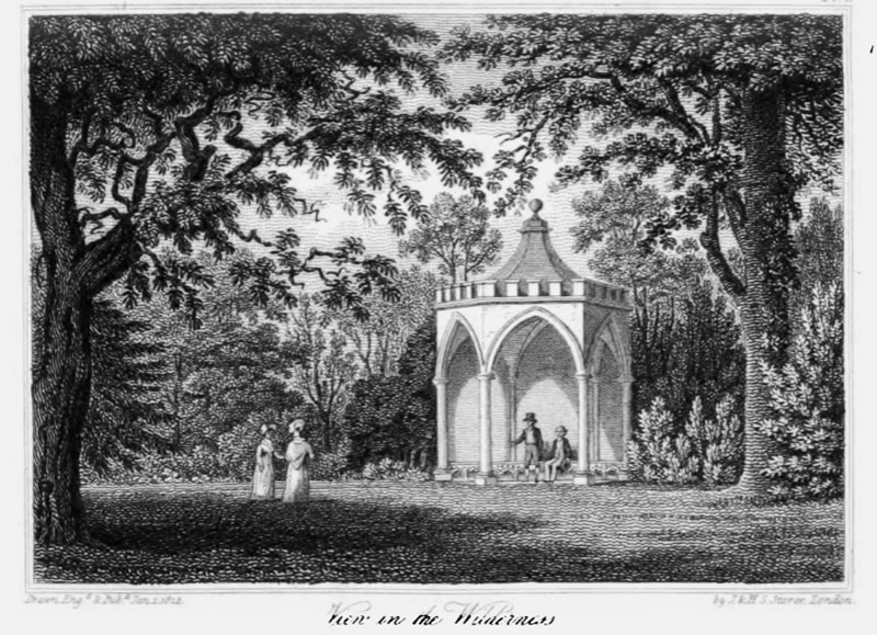
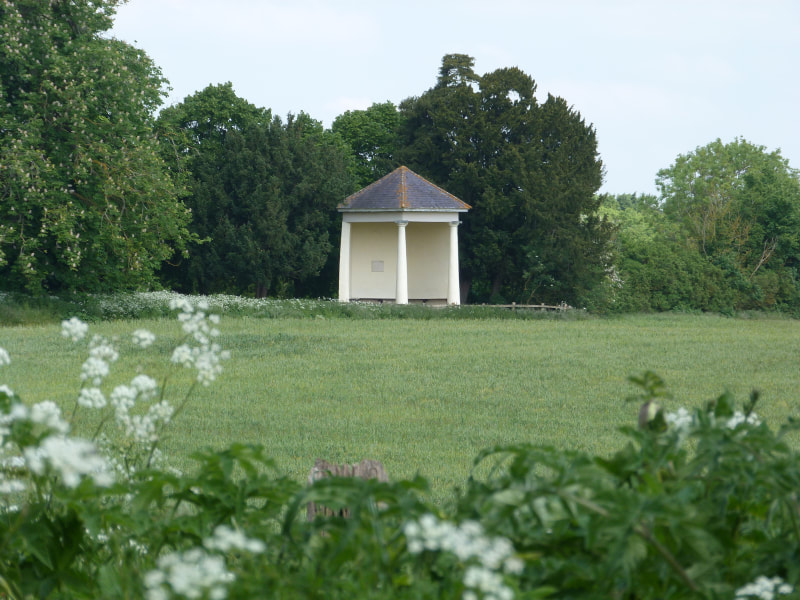
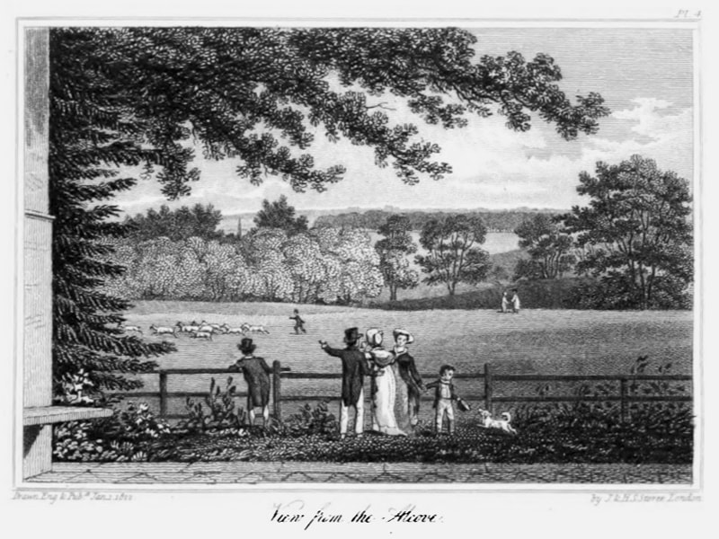
52.148430, -0.737983 The “Wilderness” was part of the Throckmorton’s Weston Park and can be glimpsed behind the walled kitchen garden. This would have been a planned and organised “wilderness” and still contains no less than six scheduled monuments, some from Cowper’s time. The land is privately owned. Statues of the Throckmorton’s pointer Neptune and spaniel Fop, have Cowper epitaphs: Though once a puppy, and though Fop by name, Here moulders one whose bones some honour claim; No sycophant, although of spaniel race, And though no hound, a martyr to the chase. Ye squirrels, rabbits, leverets, rejoice! Your haunts no longer echo to his voice; This record of his fate exulting view, He died worn out with vain pursuit of you. 'Yes' -- the indignant shade of Fop replies-- 'And worn with vain pursuit man also dies. There is also a recumbent lion on a monument commemorating Waterloo, an urn on a plinth to Waterloo, a Gothic temple, and a bust of Homer. Continue along Wood Lane (north) with views of the Alcove until it bears right (ignoring a bridleway to Ravenstone on the left) and a layby on the right marks the gate to Cowper’s Alcove. 52.154072, -0.742781 |
|
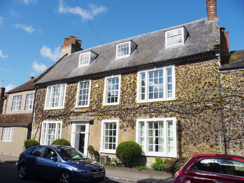
12. Cowper's Lodge
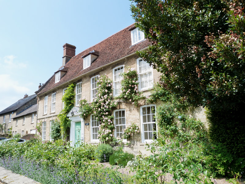
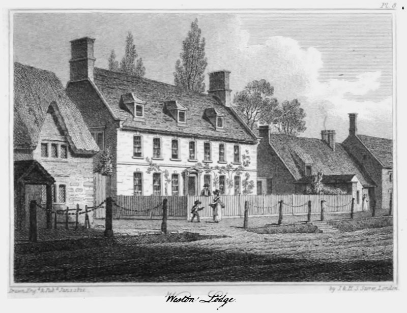
52.146353, -0.738013 This fine Georgian House became Cowper’s home from 1786 to 1795 after which he moved to Norfolk to be nursed in his declining years by his young cousin Johnny Johnson. The pub was then the home of his friend – Reverend Buchanan. The shutter from the Lodge is in the museum with poignant lines written on it just before he left for Norfolk: Farewell dear scenes, forever closed to me; Oh, for what sorrows I must now exchange ye! From Cowper’s Lodge continue along the High Street, past the quaint old Post Office, to the far end of the village and cross the road to the stile of St Laurence Church. 52.145129, -0.739458 |
|
|
13. St Laurence Church
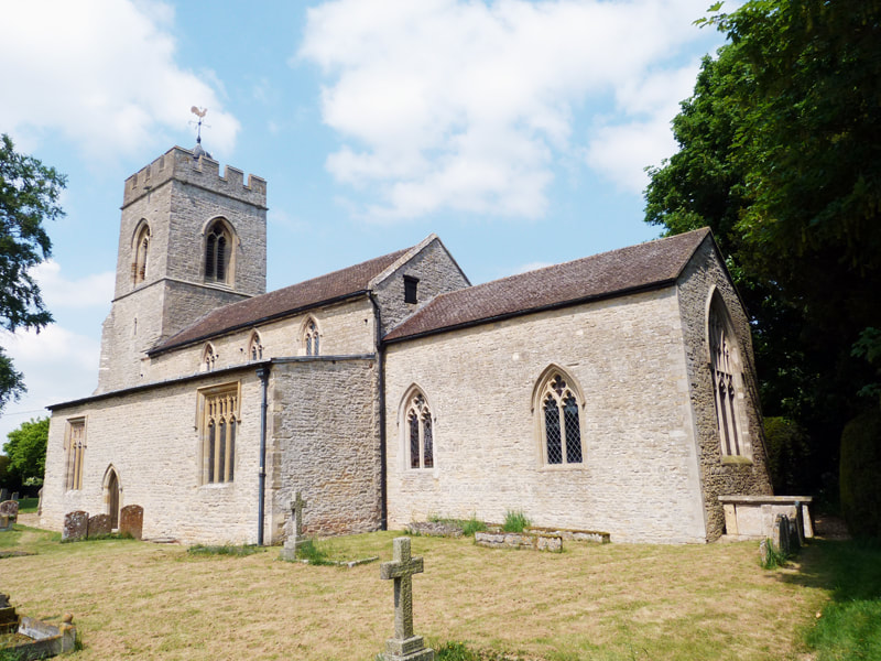
52.144842, -0.739290 The Church is 14thcentury and was built by John De Olney, originally as a “Chapel of Ease” but re-designated by papal decree as the Overbrook was often flooded, preventing timely burials in Olney. Next door, Pear Tree Cottage was the old Curatage where Thomas Scott lived and paid rent in pears to Charles Higgins. He later became famous for his biblical commentaries and later followed in John Newton’s shoes as Curate of Olney. From St Laurence Church retrace your steps north eastward along the High Street through the knobs and follow the road back into Olney to the Cowper and Newton Museum.Where you can view William’s possessions from the period of his stay in Olney and Weston underwood. |
